
ATLAS
SOLUTIONS
Advancing Justice Through
Geospatial Intelligence
Atlas Solutions builds GIS platforms and data tools for mission-driven organizations working toward equity, justice, and community wellbeing.
Atlas Solutions builds GIS platforms and data tools for mission-driven organizations working toward equity, justice, and community wellbeing.
Subscriber and client-based GIS platforms and services for mission-driven organizations
Explore all of our live maps and data tools on our platform
Visit Our GIS PortalFree interactive maps and apps — no account required
Get a taste of what geospatial technology can do. These public tools are built and hosted by Atlas Solutions on our ArcGIS Enterprise platform — free and open to everyone.
Flexible partnership models designed for mission-driven organizations
At Atlas Solutions, we believe powerful GIS technology should be accessible to all organizations working toward community impact. We've designed our service model to meet you where you are, with flexible options that scale with your needs and budget.
We start many partnerships with no-cost pilot programs to prove value before asking for commitment. Pilots typically run 6-12 months and provide full access to our platforms, technical support, and analysis capabilities. This lets both parties validate the approach and demonstrate impact before discussing longer-term arrangements.
For ongoing access to our GIS platforms and services, we offer sliding scale subscription pricing based on your organization's size, budget, and mission alignment. Nonprofits and community organizations receive priority consideration and preferential rates. Our goal is sustainable partnerships, not maximum profit.
Every organization has unique needs. We're happy to negotiate custom contracts for specialized projects, enterprise implementations, or multi-year partnerships. We can structure agreements around grants, in-kind contributions, revenue sharing, or hybrid models that work for your funding reality.
Each of our projects is at a different stage of development with unique access opportunities. Some are actively seeking pilot partners, others are in development, and some are available for subscription access. When you reach out, we'll discuss which projects align with your needs and what participation options are currently available.
We're a nonprofit working with nonprofits. We understand tight budgets, grant cycles, and the pressure to demonstrate impact. Our pricing reflects our mission: making geospatial technology accessible to organizations creating positive change. We'd rather have 10 mission-aligned partners at sustainable rates than one high-paying client who doesn't share our values.
A Michigan-based nonprofit dedicated to geospatial justice
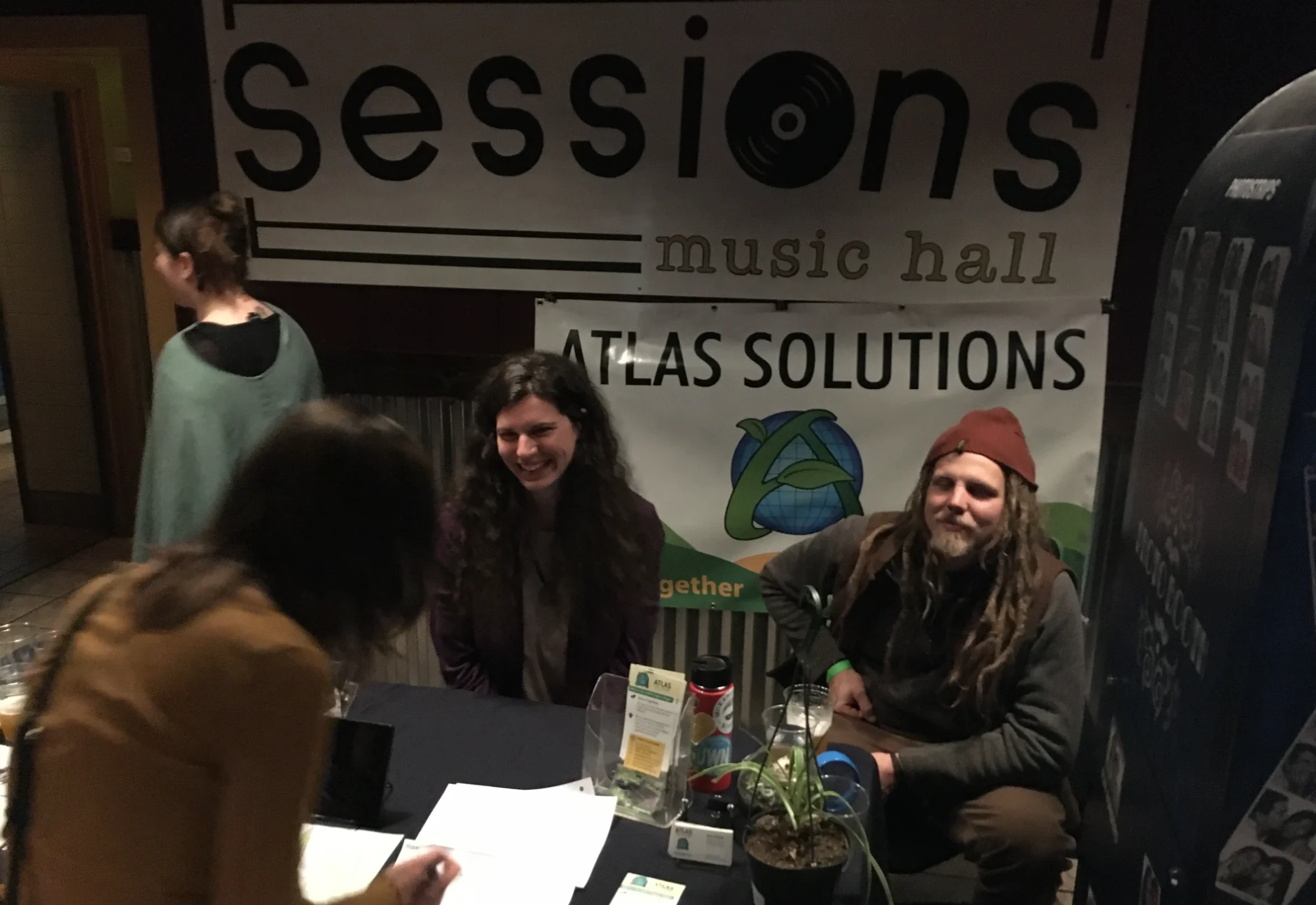
Atlas Solutions Inc. is a 501(c)(3) nonprofit organization dedicated to advancing justice and community development through geospatial technology. We specialize in GIS mapping, spatial analysis, and data intelligence services that help organizations understand and address complex social challenges.
We're developing crime mapping solutions for MCEDSV (Michigan Coalition to End Domestic and Sexual Violence), with statewide data coverage across all 83 Michigan counties. Our platform is designed to support domestic violence prevention organizations throughout the state, with additional projects in development addressing food security and community resource assessment.
We believe the application of geospatial intelligence methods to community level needs can have a nationwide, quality of life altering impact on communities facing many of the most systemic social issues our world faces.
While human society has many different cultures and unique challenges arising from their geopolitical and physical environments, we share common human needs. We all need food, housing, and clean water. We need equitable means to sustain ourselves — whether through traditional employment or a trade economy — and we all need to be free of disease and have our human, civil, and property rights respected. Even though nuances exist in different communities, systemic social issues share common roots. A unified system of monitoring can be developed using standard and emerging geospatial intelligence methods. With a standardized model for monitoring the extent and spatial distribution of these issues across communities we can better communicate and support each other in our efforts.
We aren't just living in the information age; we're defining it. Join us.
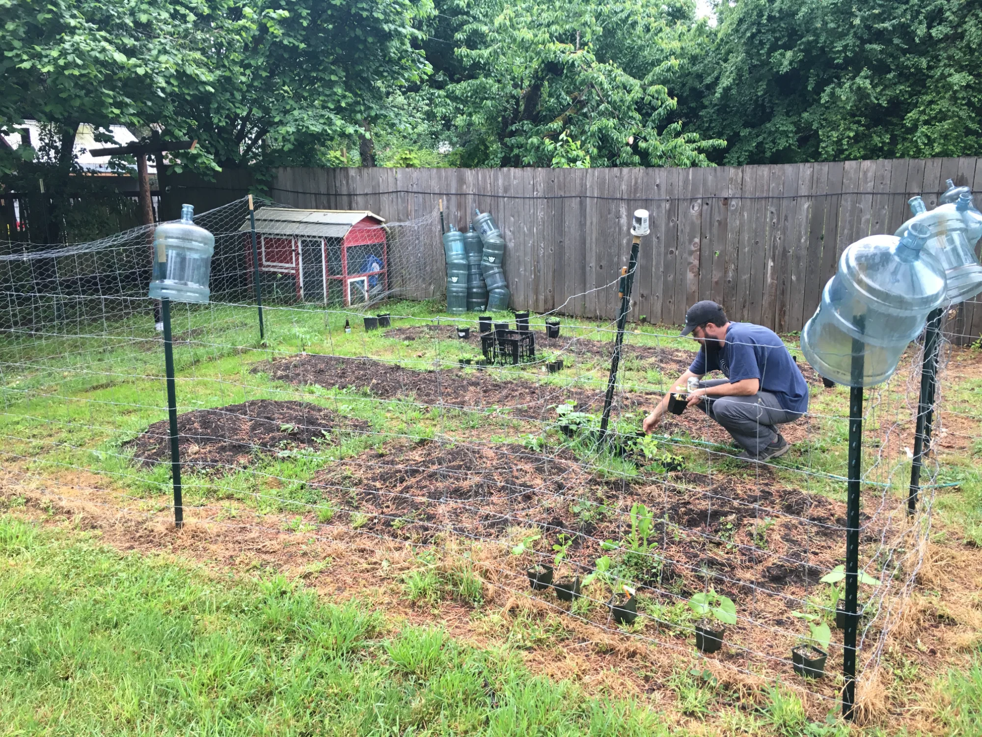
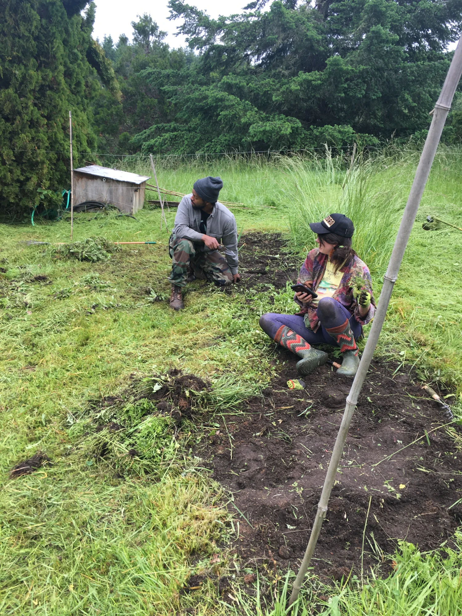
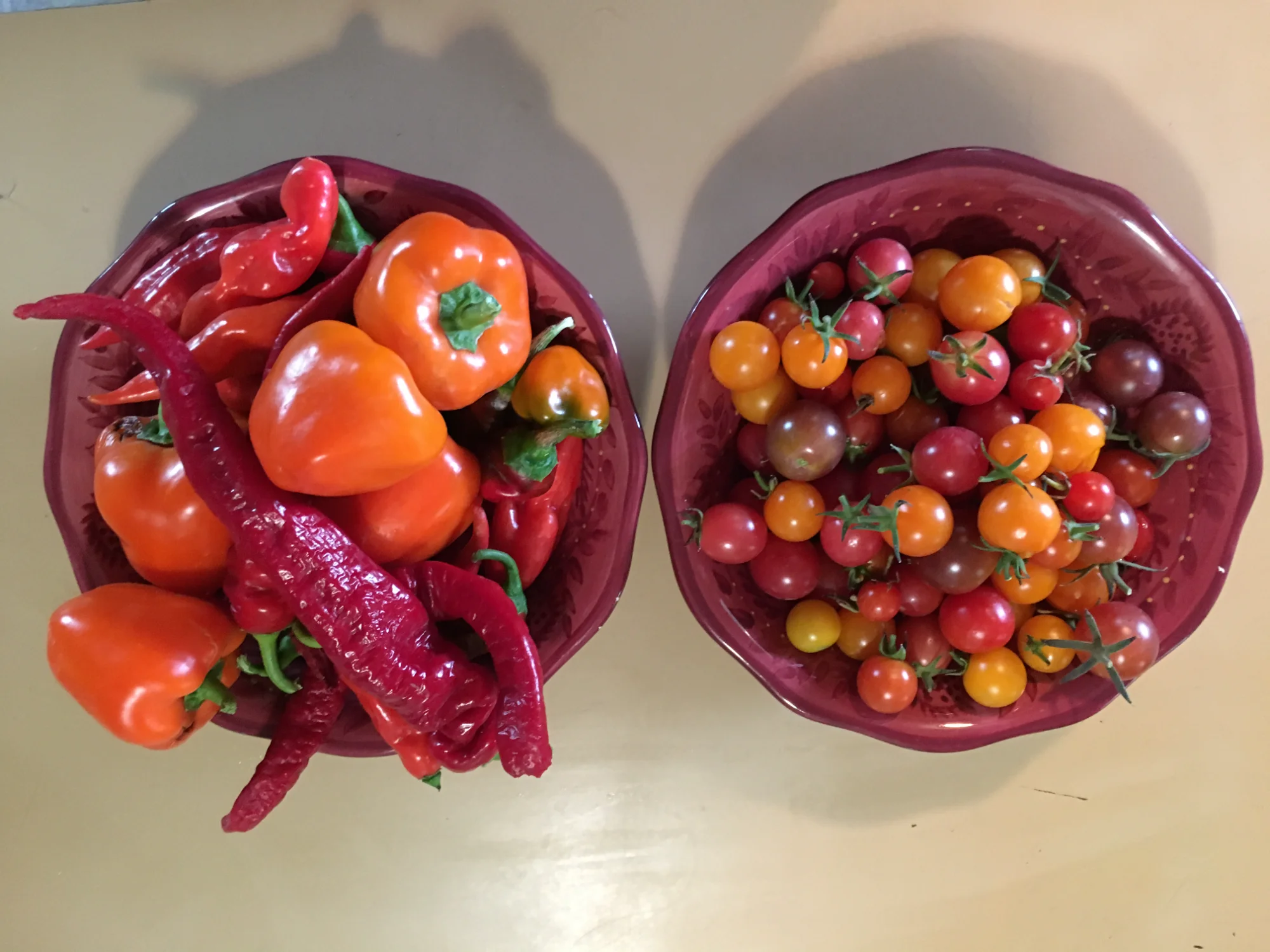
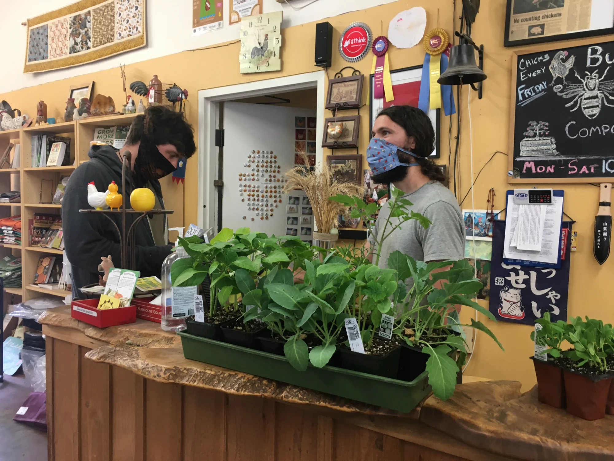
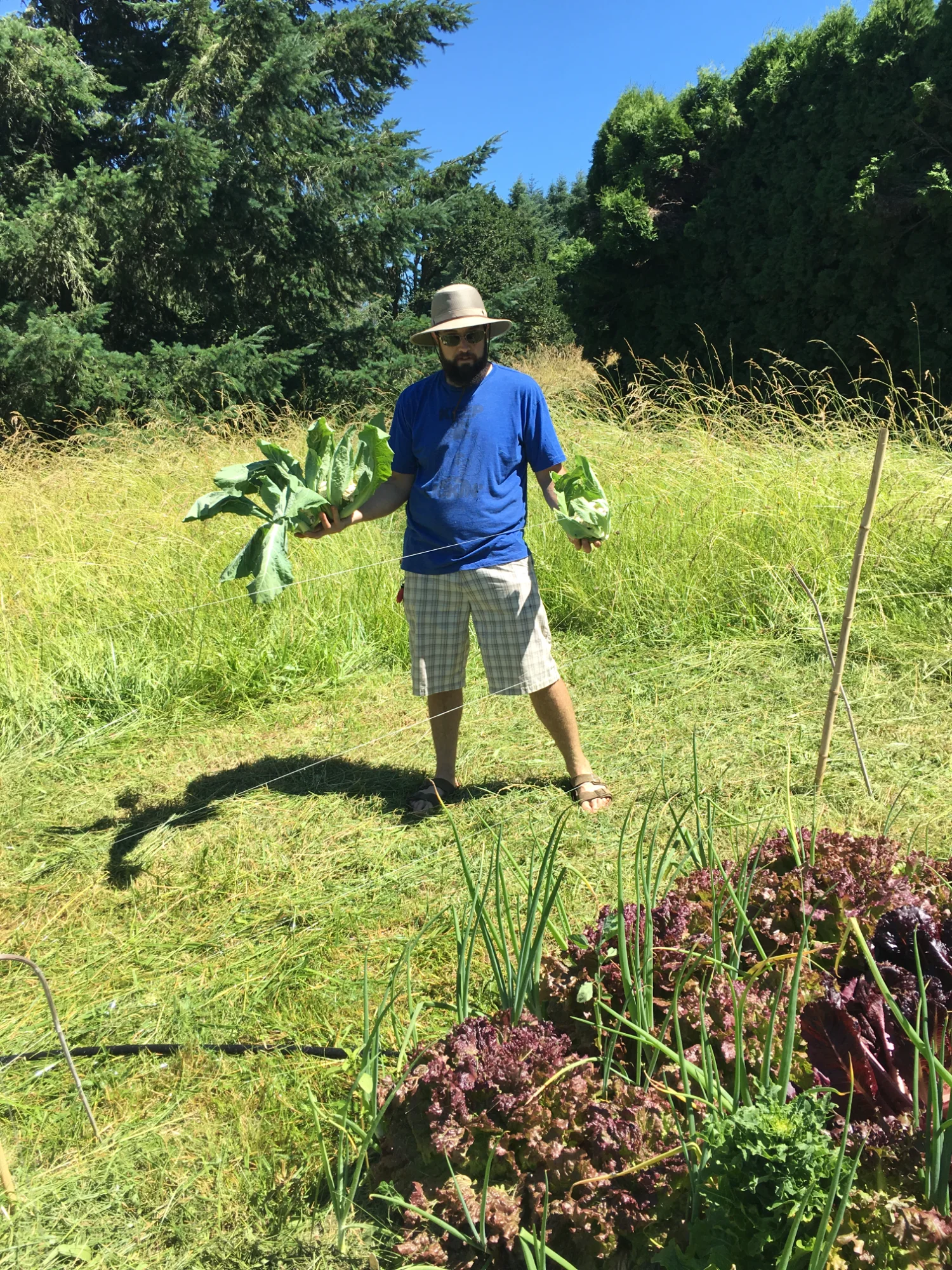
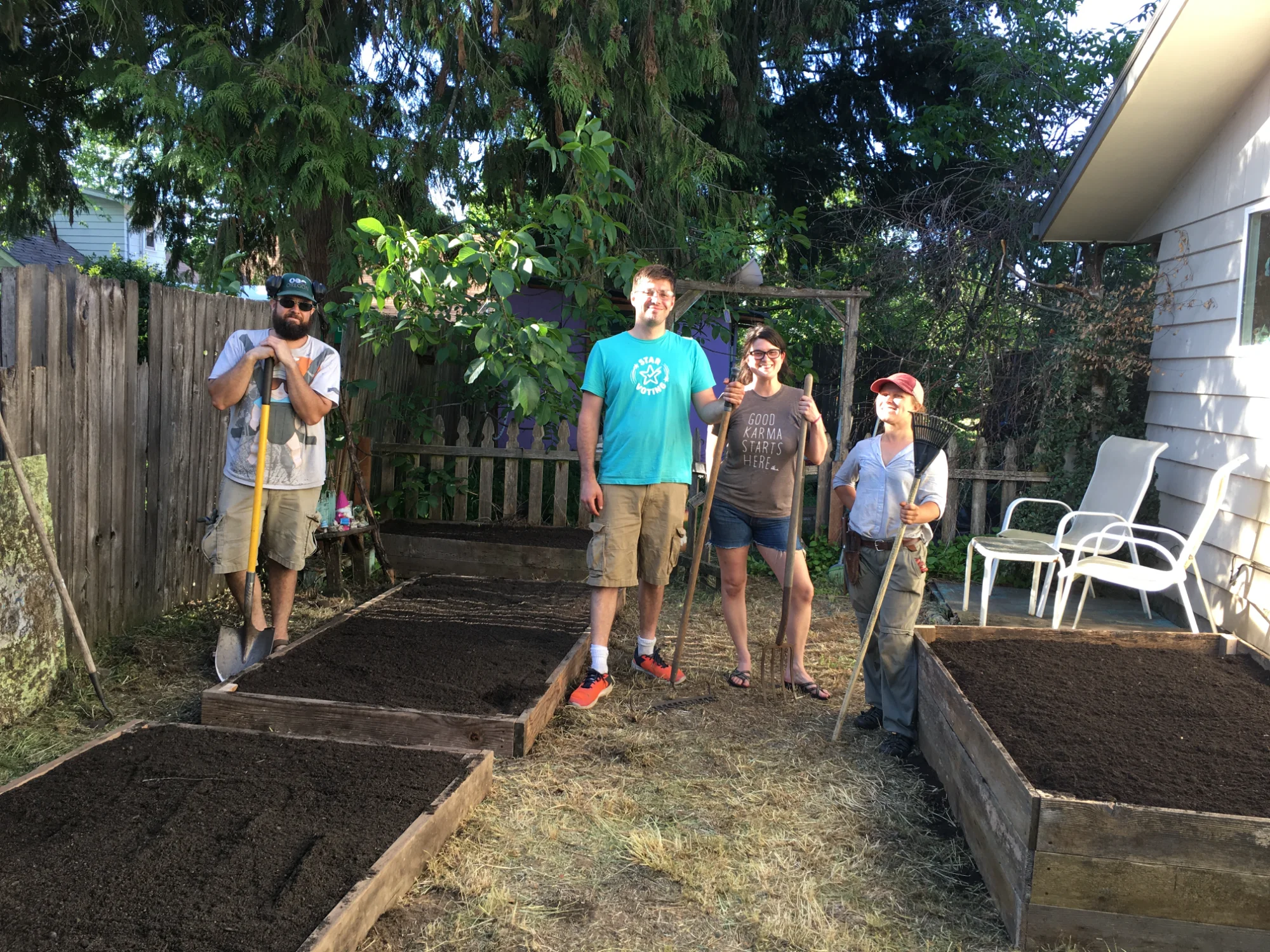
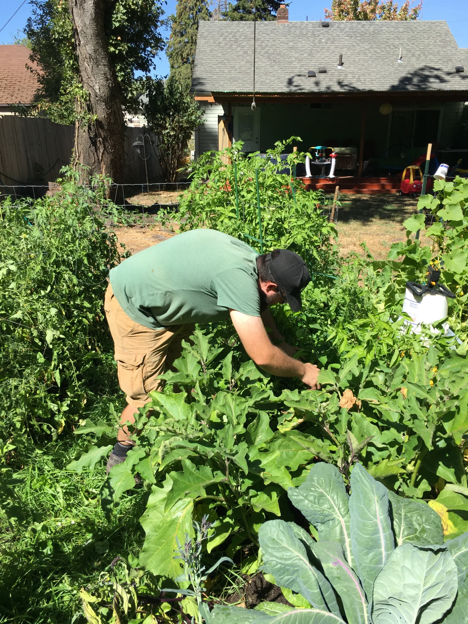
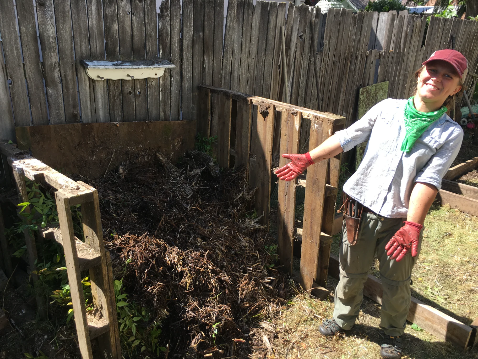
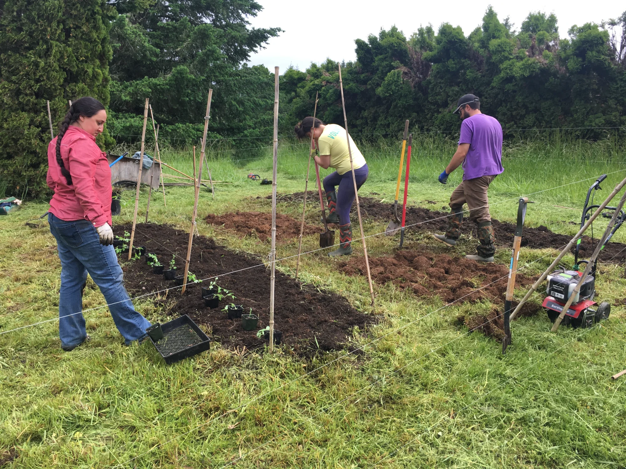
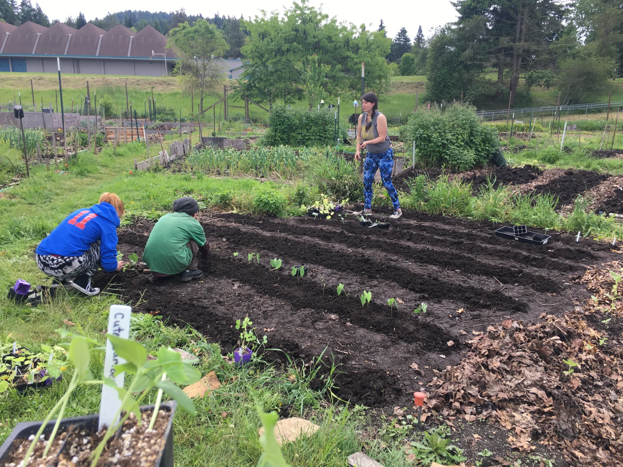
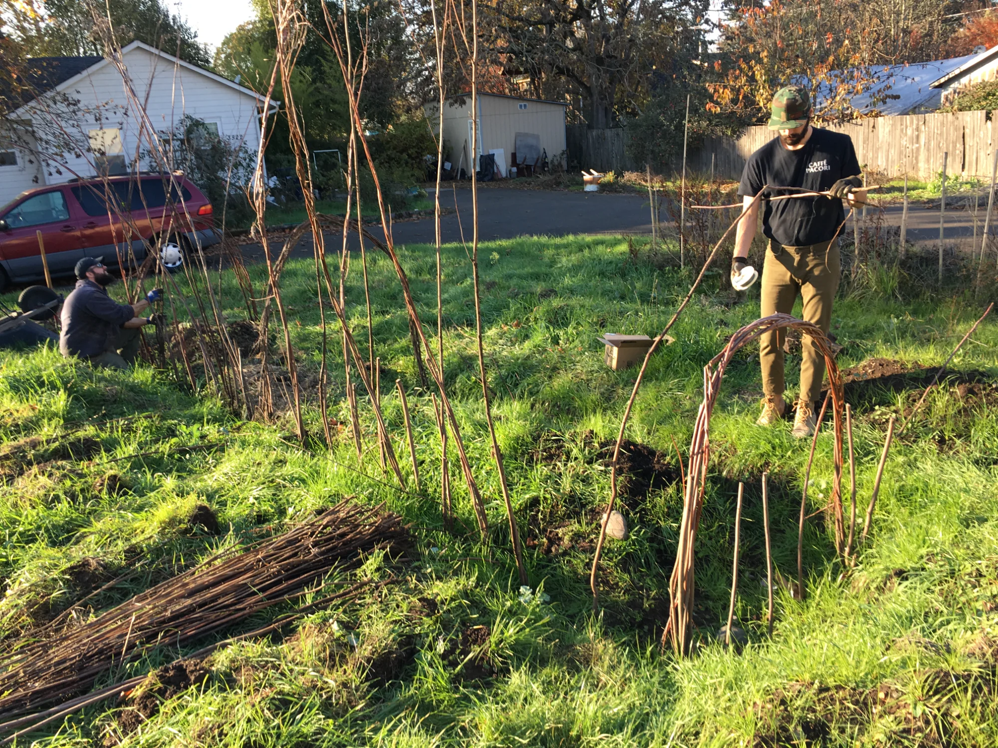
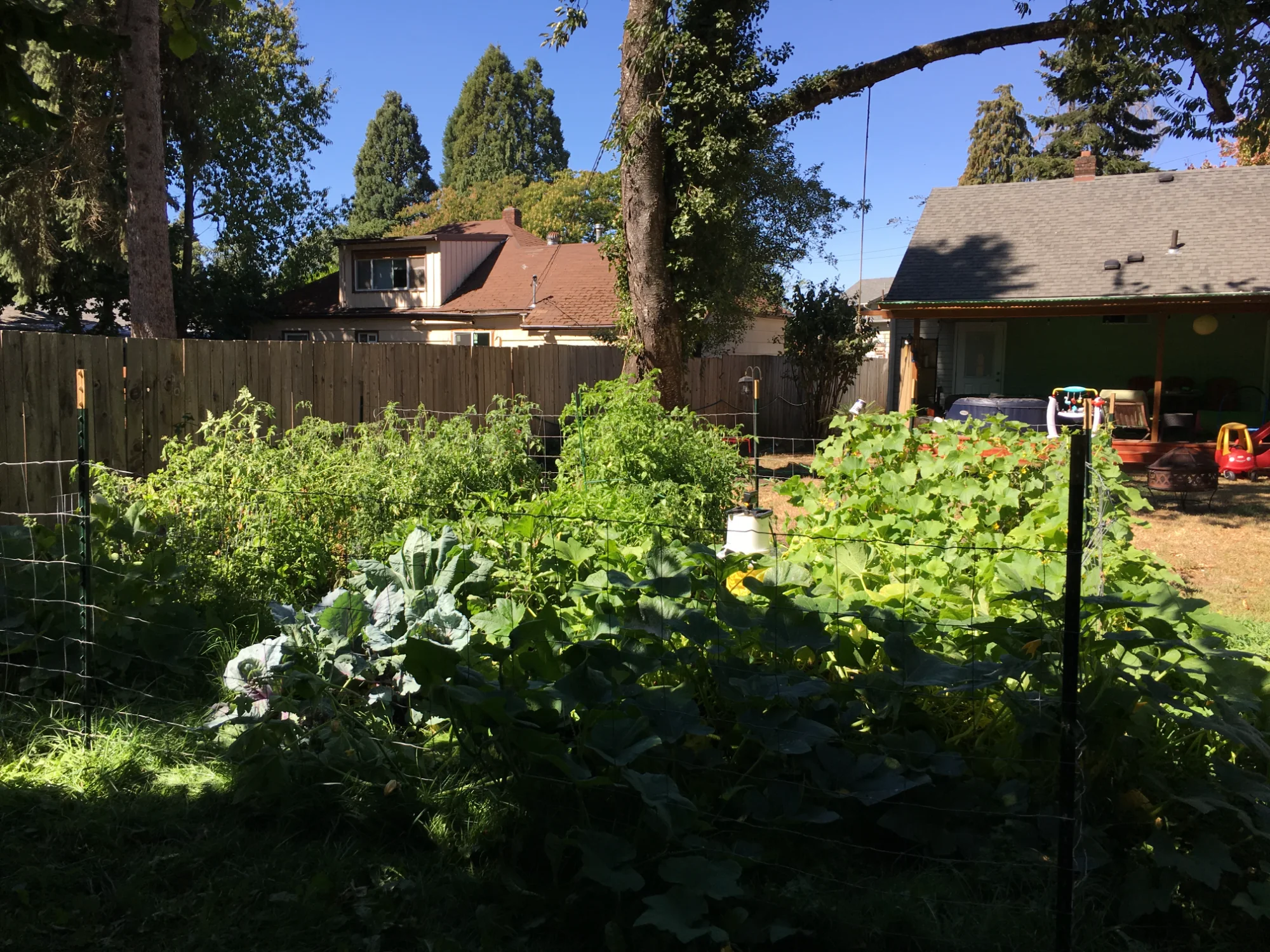
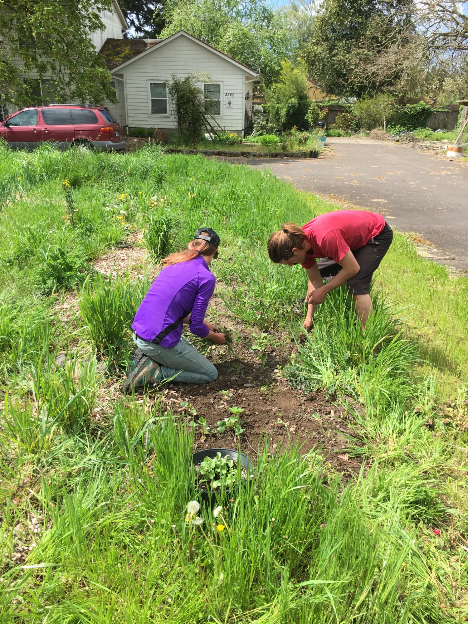
ur story starts in 2015 in Eugene, Oregon with the idea that unused plots of land can be integrated into a network of small productive gardens by a group of garden activists.
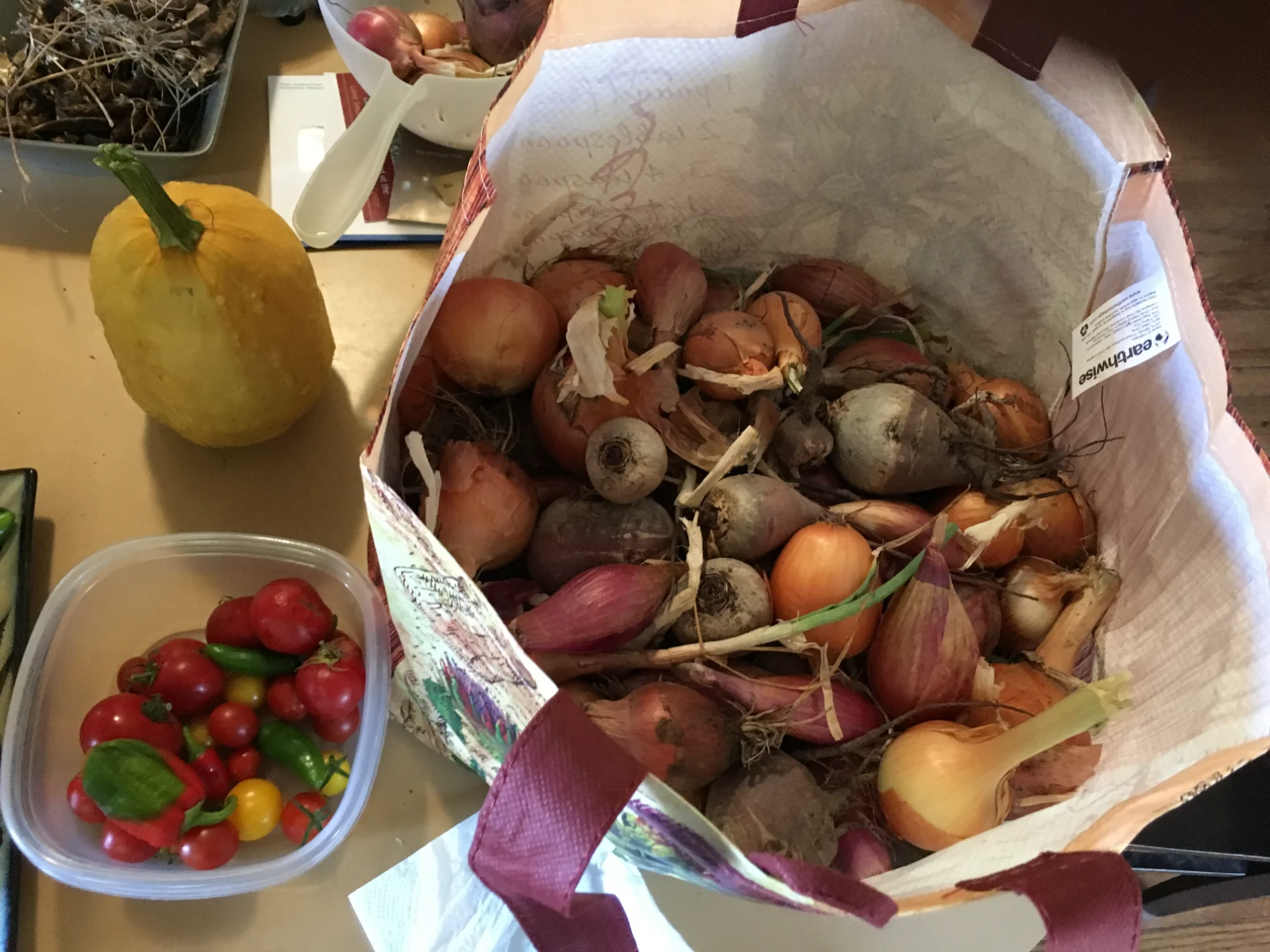
After our first year donating to food pantries which can only store limited fresh produce, we began donating our produce to an organization called Burrito Brigade which would roll up and hand out burritos to unhoused individuals on a weekly basis. This ensured our gardens would have the most immediate impact they could.
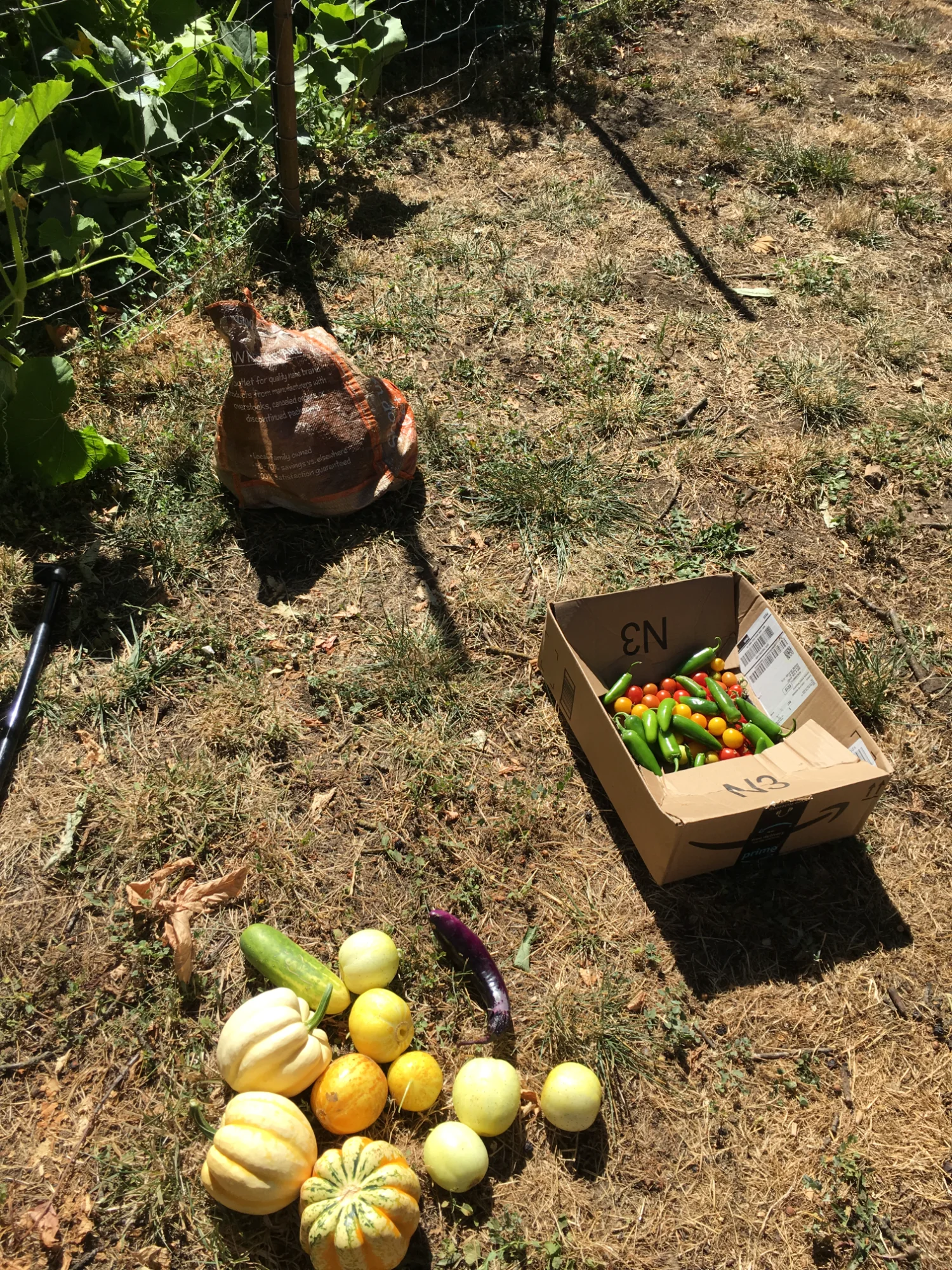
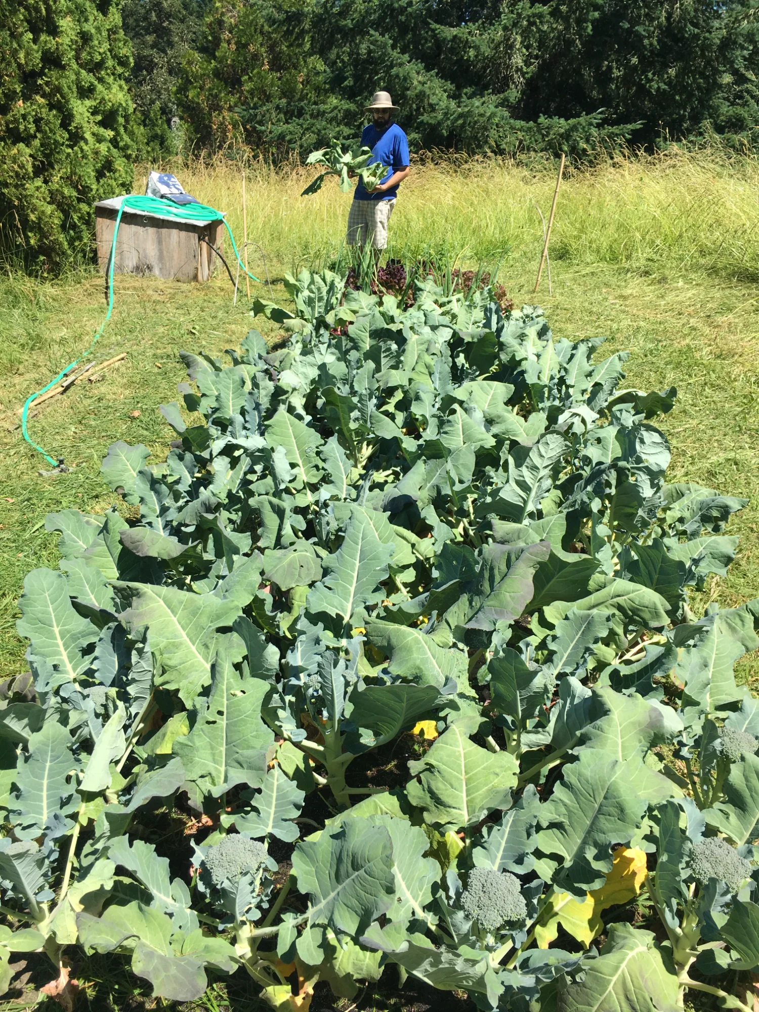
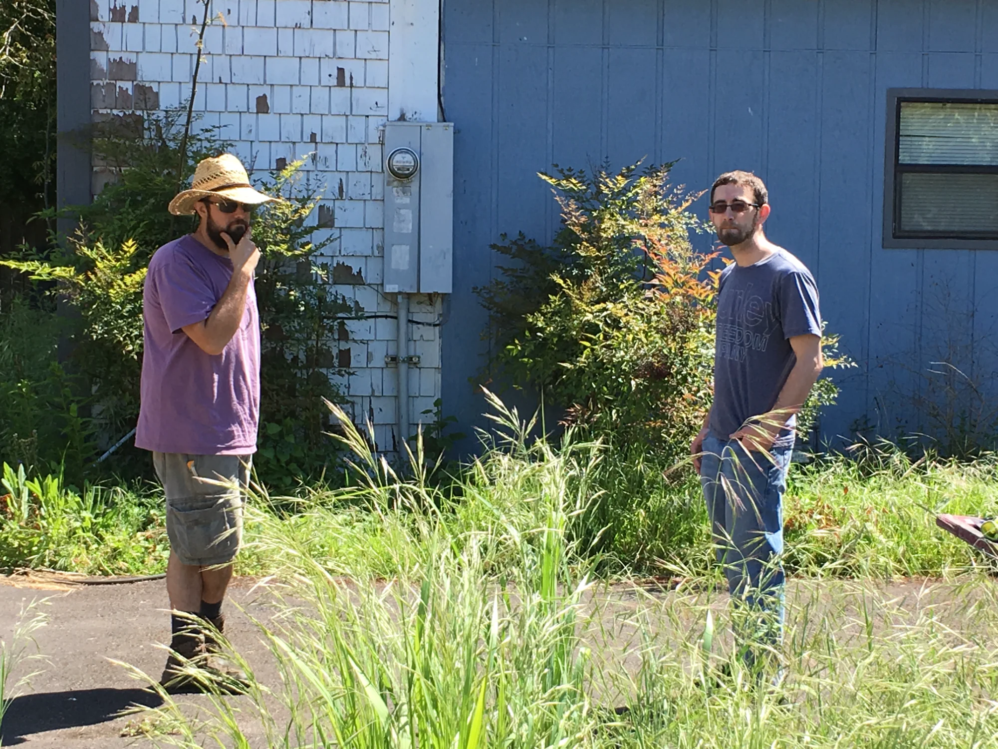
Over the next several years leading up to the COVID crisis, we broke ground on several projects in partnership with different land owners. Our vision always included the use of GIS in planning where food insecurity was more severe, thus informing future gardens. The idea was to form a series of GIS computer labs and incubator greenhouses where the GIS would guide our planning process and the greenhouses would provide the physical materials needed to plant new gardens in areas where food is most needed. Creating a high-tech green network treating hunger like an infrastructure problem.
When COVID struck, we were forced to close down our projects and rethink our strategy. Without changing our mission, we decided to refocus our efforts into developing our GIS program as a tool to integrate the efforts of other garden activists out there as the first phase of our new program development. We still look forward to building our greenhouse and garden network in phase two.
Our work continues in our Programs & Services section...
Let's work together to make data-driven change in your community
Collaboration opportunities for nonprofits, agencies, and community organizations